Product on sale
Rhode Island Wall Map by Globe Turner Online
22 people are viewing this right now
10 products sold in last 9 hours
Selling fast! Over 10 people have this in their carts
- Estimated Delivery : Up to 4 business days
- Free Shipping & Returns : On all orders over $200
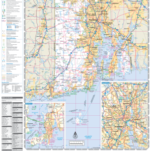
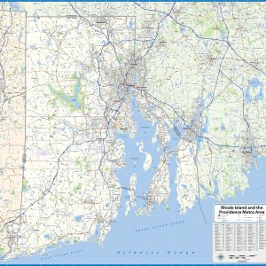
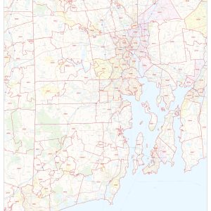
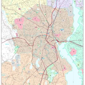
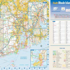
This colorful, easy-to-read state map of Rhode Island identifies all major thoroughfares, secondary roads, freeway interchanges, rest areas, distance markers, landmarks, recreational areas, and more. Shaded relief on the state map provides a three-dimensional sense of Rhode Island’s topography. Detailed city inset maps of Newport and Providence are based on the latest street information from our cartographic experts. County and city indices make it simple to locate even the smallest town.
This map is rolled and shipped in a sturdy cardboard tube.
| Size | 36×40, 42×47, 48×53, 56×62 |
|---|---|
| Material | Paper, Laminated, Laminated with Hanging Rails |